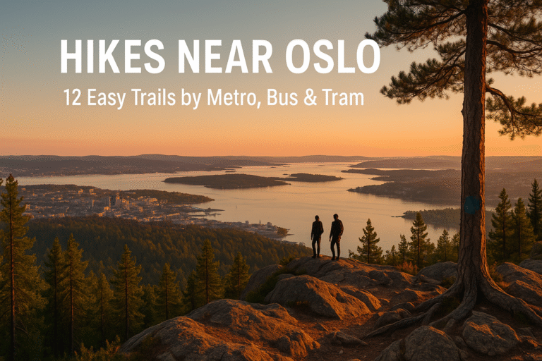
If you’ve just landed in Norway and want real nature without a rental car, start here. These 12 trails give fjord views, forest lakes, and classic Oslomarka vibes, each reachable on public transport.
1) Vettakollen – Oslo’s quickest big view
- Why go: Huge skyline and fjord views for little effort.
- Stats: ~3-5 km round trip · 1-2 hrs · short steep finish.
- Get there: Metro Line 1 → Vettakollen (or Sognsvann) and follow signed paths

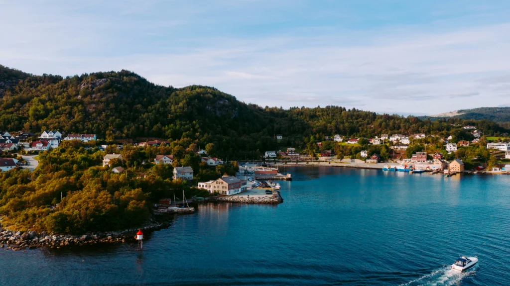
Best Hikes Near Bergen – Local Favorites with the Best Views
Bergen is often called the gateway to the fjords, but for hikers, it’s something else entirely: one of the best hiking cities in Norway. You don’t need to drive for…
2) Kolsåstoppen – sunset ledges above the fjord
- Why go: Panoramas over Bærum and the Oslofjord; classic sandstone ledges.
- Stats: 4-7 km · 2-3 hrs · moderate.
- Get there: T-Bane Line 3 → Kolsås/Hauger or bus toward Stein gård; waymarked trails to Nordre/Søndre peaks.

3) Grefsenkollen – café + city views
Why go: Rewarding viewpoint with a hilltop café; great for families.
Stats: 3-6 km · 1.5-2.5 hrs · moderate ascent.
Get there: Bus 31 → Årvoll senter, switch to 25 → Grefsenkollveien, then follow the marked path.

5 Best Camping Tents for Norwegian Nature
If you plan to explore Norway’s wild landscapes, your tent is the most important piece of equipment. The best camping tents for Norway are designed to handle strong winds, heavy…
4) Øyungen from Skar – lake day for everyone
- Why go: Wide gravel path to a pretty forest lake; picnic and swimming spots.
- Stats: ~10 km out-and-back (to the dam and back) · 2-3 hrs · easy.
- Get there: Bus 51 → Skar (Maridalen); signed gravel road along Skarselva.

5) Sognsvann → Ullevålseter – the Oslo “starter trail”
- Why go: Beloved greenway into Nordmarka; café at Ullevålseter.
- Stats: ~10–12 km return depending on route · easy rolling.
- Get there: Metro Line 5 → Sognsvann, follow main path north.

6) Bygdøy Coastal Path – beaches & museums loop
- Why go: Gentle seaside walking; combine with Fram/Viking Ship museums (seasonal).
- Stats: 5–11 km options · flat · family-friendly.
- Get there: Bus 30 → Huk/Bygdøy; follow signed coastal path.

7) Rundtur Lillomarka (Solemskogen) – quiet forest ridge
- Why go: Calm woods and views from Grytlihøgda; fewer crowds than Sognsvann.
- Stats: 7.3 km loop · ~3 hrs · moderate.
- Get there: Bus to Solemskogen trailhead; follow loop.

8) Øyungskollen viewpoint – short, steeper option from Skar
- Why go: Compact climb to a strong Nordmarka view; pairs with Øyungen.
- Stats: ~5–6 km · 2–3 hrs · moderate+.
- Get there: Bus 51 → Skar; signed trail to Øyungskollen.

9) Fagervann via Ullevålseter – swims + forest singletrack
- Why go: Classic blue-blazed paths and a gorgeous swim spot.
- Stats: ~6 km one way variants · 2–3 hrs · moderate.
- Get there: Start from Sognsvann and follow signs toward Fagervann/Ullevålseter.

Norway Road Tolls & Ferries (2025): The Complete Campervan Guide (AutoPASS, Epass24 & FerryPay)
TL;DR (30 seconds) How Norwegian tolls work in 2025 Norway uses automatic tolling (DSRC tag readers + license-plate cameras). You’re charged each time you pass a toll point (city rings,…
10) Grefsenkollen “lett utsiktstur” – the easy version
Why go: A marked, gentler route up to the same view.
Stats: ~3–4 km · 1–2 hrs · easy–moderate.
Get there: Bus to Akebakken stop; follow UT.no description.

11) Hovedøya & island strolls (bonus, seasonal)
- Why go: Ferry to car-free islands for super-easy nature time; short trails, beaches.
- Get there: Ruter boats from Aker Brygge (summer = frequent; winter = fewer departures).

12) Ramstadslottet (Østmarka) – granite dome views
- Why go: Quieter top with wide rock slabs; great “I’m in the Norwegian woods” vibe.
- Stats: 8–15 km depending on start · 3–5 hrs · moderate.
- Get there: Multiple trailheads in Østmarka (e.g., Marikollen/Huldreheim)